*I have a camera. I like taking pictures. Here are some of photographs from my recent life stuff.

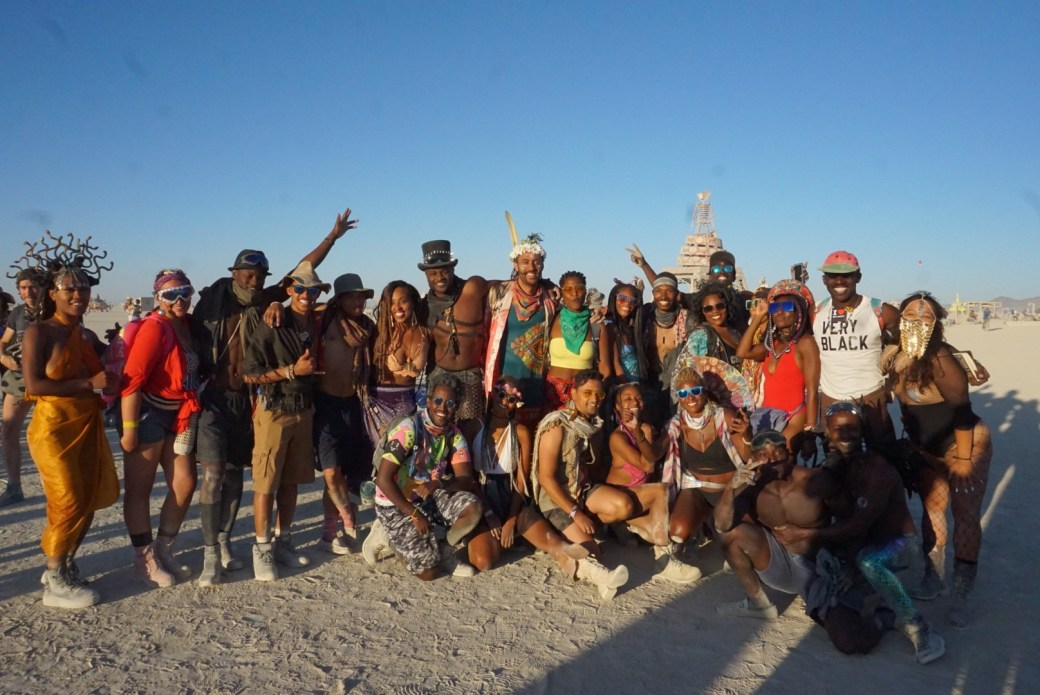


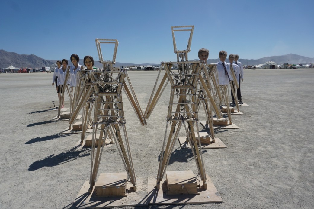


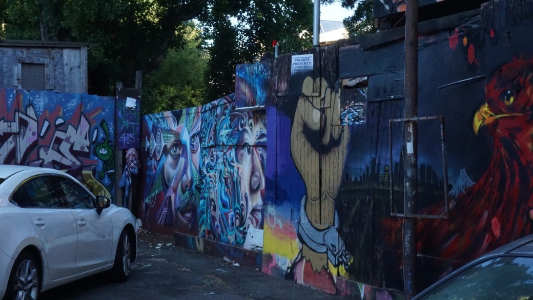

Be kind to yourself.
Onward.

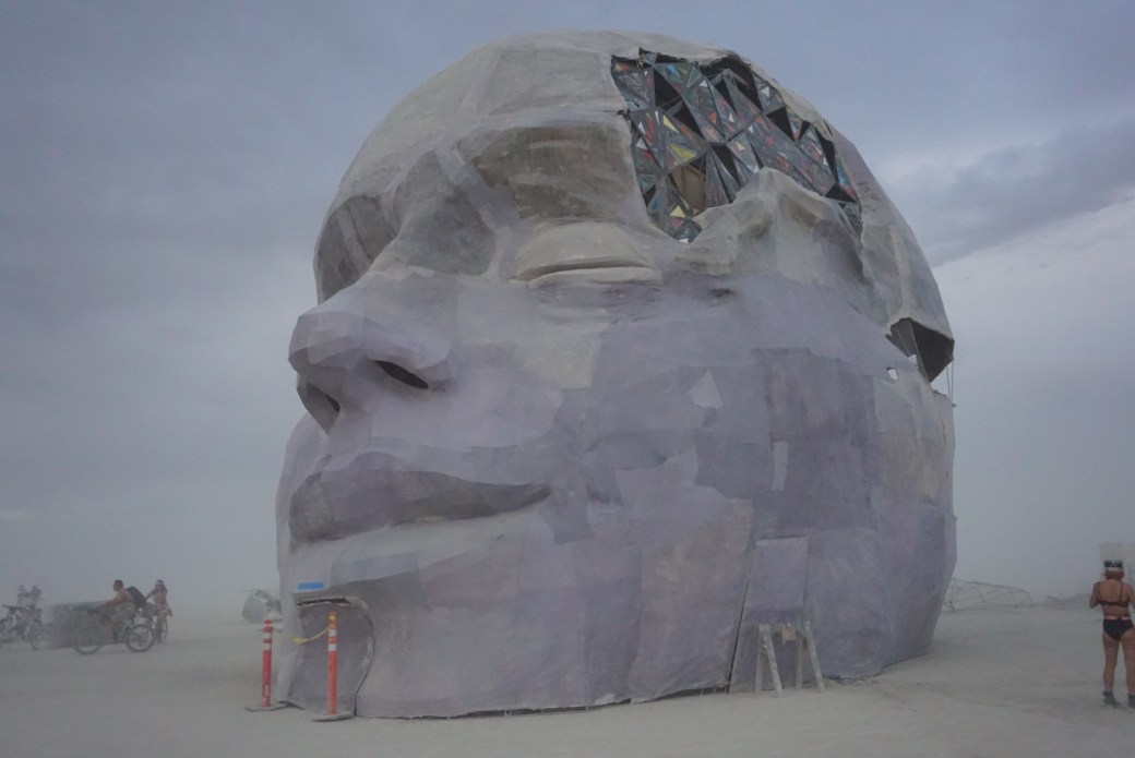
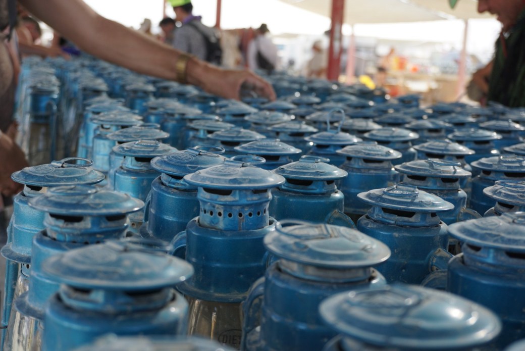
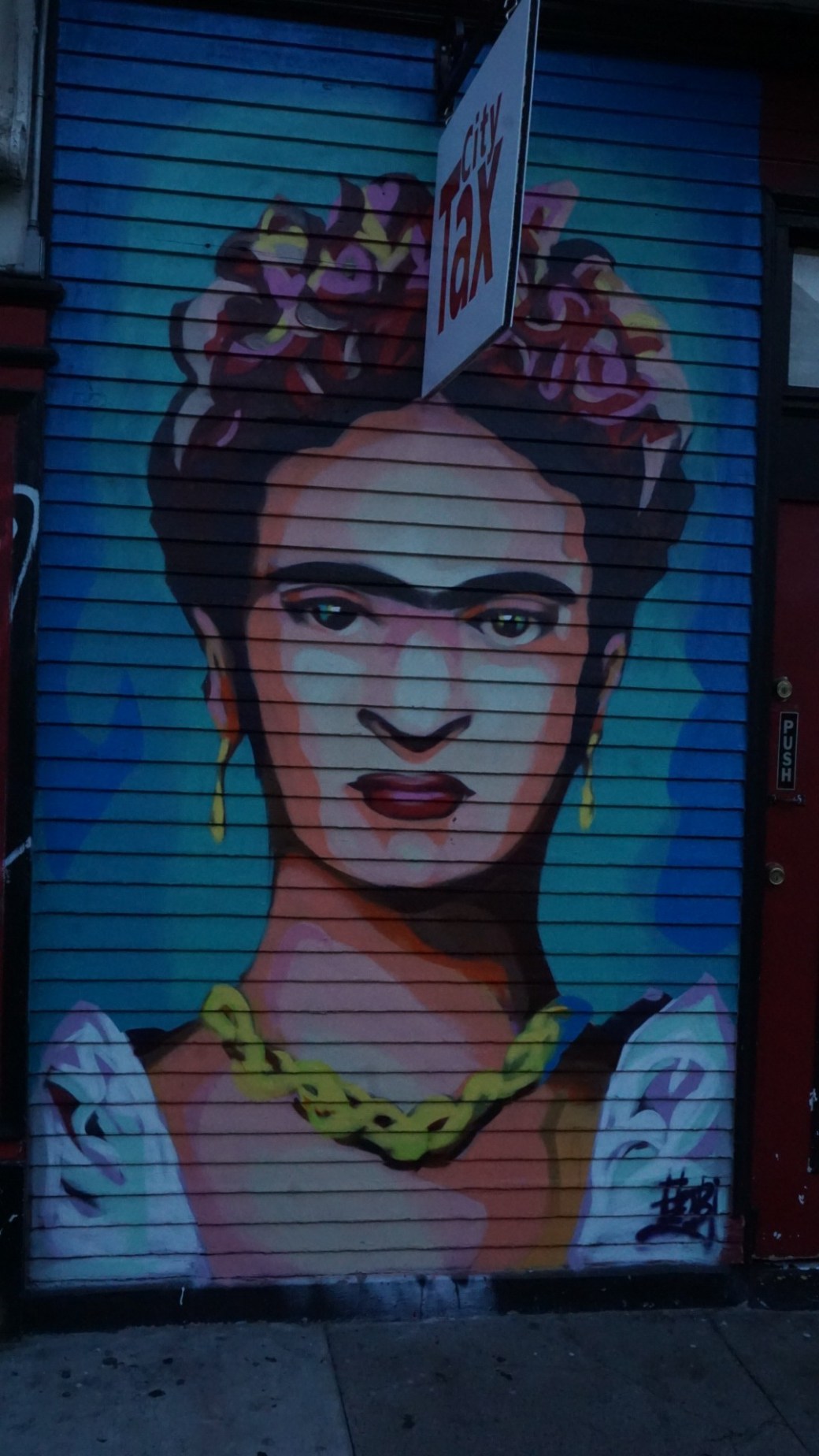
*I have a camera. I like taking pictures. Here are some of photographs from my recent life stuff.
Be kind to yourself.
Onward.
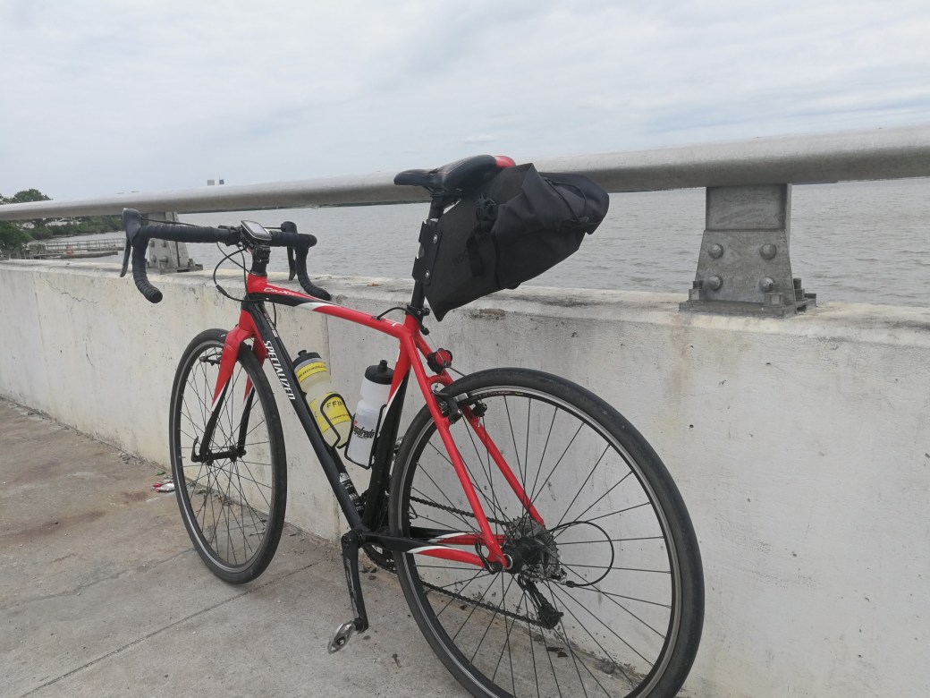
I like bikes. Riding them. Looking at them. Talking about them. Wrenching on them. Contemplating which one I’ll buy next. Some years back, I thought about the possibility of completing a century. For the uninitiated, that’s one hundred miles. On a bike. I put it off using every excuse I could think of. I’m not fit enough. I’ll never be fit enough. One hundred miles is so far. Too far. Thankfully, some friends held me accountable and asked repeatedly how training was going. It worked. I completed my first century in 2014.
This got me thinking. What else can I do? I set my sights on long day trips. I set goals to ride from DC to Annapolis, and from DC to Baltimore. While I made the roundtrip journey to Annapolis on a summer day in 2015, I still put off Baltimore. I used much of the same logic I had used prior. It’s too far. I’m not in the best shape. There’s no good route. The route isn’t safe. And it continued.
A co-worker told me about creating routes on Strava, a social fitness tracking site. The creating routes feature allows you to pick two or more points and get the most popular route between them. There are also options to minimize the route’s elevation and to plan the route manually. I looked into it. After exploring different routes to Charm City, I decided that I’d go all in. Baltimore or bust.

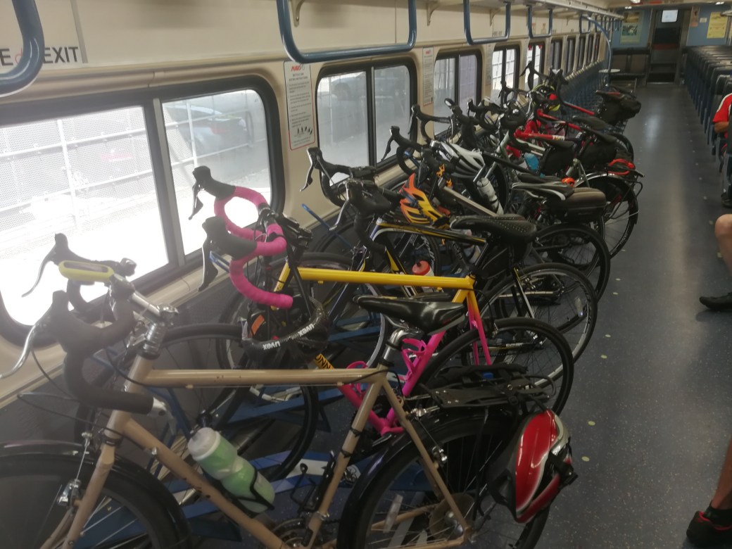
Last weekend, I made the trip. There were a few times during the 60+ miles that I questioned my decision making. But none of that was present as I saw the Baltimore skyline in the distance. My route was a nice mixture of trails, back roads, quiet residential streets, and slightly busier streets with wide shoulders. It took around five hours in total (just over four hours of actual moving time). After a delicious Baltimore lunch, I made my way to Penn Station to take the MARC train back to DC. My life and legs weren’t quite ready to ride 60+ miles back. It’s a nice day trip that I’d recommend to anyone considering the opportunity.
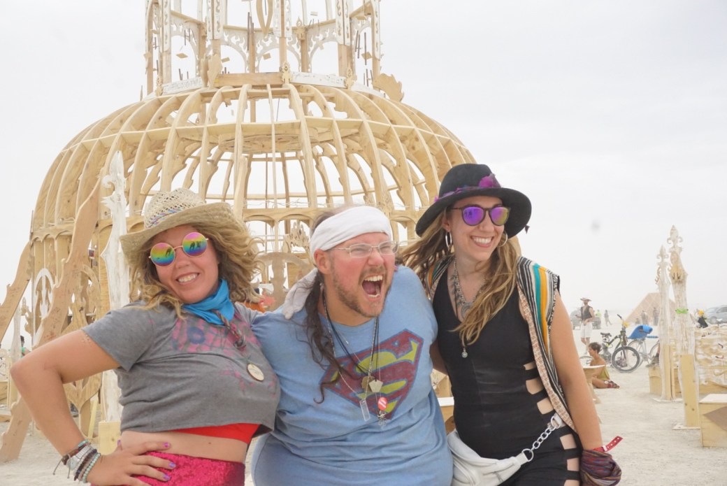
Be kind to yourself.
Onward.
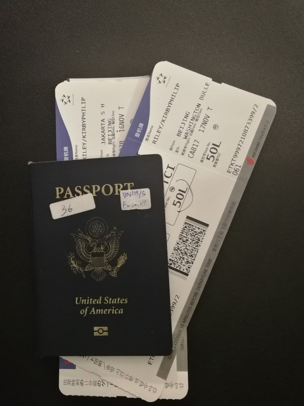
In August, I started on a route heading back to DC. I chose the scenic route. After starting in Mumbai, my only plan was to journey eastward. And to eat good food. After three months of experiencing the food, sights, and sounds of south and southeast Asia, I finished the journey east. On this past Saturday, I landed stateside. After two and half years, I’m back!
It was strange getting on the flight from Beijing to DC. A sort of “this is it” feeling. No more living out of my backpack. Back to familiar settings that don’t seem super familiar. I am excited to be home for Thanksgiving for the first time in two years. We’ll see what the future has in store.
Be kind to yourself.
Onward.
P.S. – I’d recommend the Mobile Passport app for free, expedited entry through US Customs at several approved sea and airports. It’s a cool alternative to Global Entry.
There are millions of smartphone apps, serving a multitude of purposes, (or none at all) at our disposal. Many of these apps are designed to make life easier. The travel life is no exception. Below (in no particular order) are some of the apps that have made my life easier while on the road.
Google Trips – Free – I didn’t know about this one until a few months ago. Once you sign in and allow the app to read your email, it will pull from any transportation/accommodation/etc messages to compile an outline of your trip. There is an option to map out your trip without the template, as well the option to edit any outlines. The outlines includes attractions, day plans, and food and drink suggestions.

Rome to Rio – Free – When moving about in unfamiliar lands, transportation could present a struggle. How do I get from this place to the next place? How much does it cost? What are my options? This app allows you to enter a beginning and ending location, and gives transport options along with estimated costs and websites with schedules (If available). It has made trip planning much better because of the wealth of information. The app doesn’t feature some of the more local options like khombis aground eSwatini or jeepneys around the Philippines. To incorporate those modes into your travel, it’s best to talk to locals.

Toshl Finance – Free (with premium paid options and features) – This is a budget/expense tracker app. One of the things I love about this is that you can enter expenses in just about any currency and it will convert to whatever you selected as your home currency. When the app is online, it updates exchange rates, so they’re pretty accurate. This is one of my favorites. It keeps me on budget. In the free version of the app, you are limited to how many budgets you can add (maximum of two). These limitations, along with others in the free version, did not affect my ability to keep accurate record of my expenses and budget.
Agoda – Free – Surprise, surprise. When searching for accommodation, different sites may list different prices. While it’s okay to just show up in many places, some places need a bit more planning. When I need to book accommodation in advance, Agoda ifs typically the cheapest. There’s also a very useful option to filter out beds that you can book without credit cards, so you can bypass deposits and spend money on actual accommodation.

Google Translate – Free – While this app is not a substitute for learning a few pleasantries in the local language, it is amazing for more complex things. Some languages are available to download for offline use. If a language is available for download in a place that I’m going, I get it. Communicating needs and wants in Vietnamese, Hindi, etc suddenly aren’t as difficult.

Google Maps – Free – You can download maps of a city (or of a custom area) for offline use. Then you can use that navigate without a data connection. This only works for driving directions, but if you can read a map, you’ll be good. One thing to note is that these maps do expire. So if you’ll be in a place for a longer time (more than a month), it would be worth it to find WiFi to re-download the map.

Whatsapp – Free – SMS can be expensive. This is true of domestic SMS in the land of places without unlimited text messaging. This is true of international SMS just about everywhere. Whatsapp is an internet/data based messaging service. Pictures, videos, and voice notes can be sent using Whatsapp, in addition to voice and video calling features. The app requires that the other user be on Whatsapp as well. for messaging/calling friends and family. While there are many similar services, this one has remained a favorite of the people I talk to most.
Viber – Free – This is an app similar to Whatsapp. Text based messages. Voice and video calls. All over a data connection. The difference here is something called Viber Out, which allows you to make VOIP calls to people who aren’t on Viber. After loading credits onto your account, the service does charge based on where you are calling (lowest rates are for calls to the United States). Viber is not only useful for keeping in touch with those lacking smartphones, but also handling business with a company’s 1-800 number.
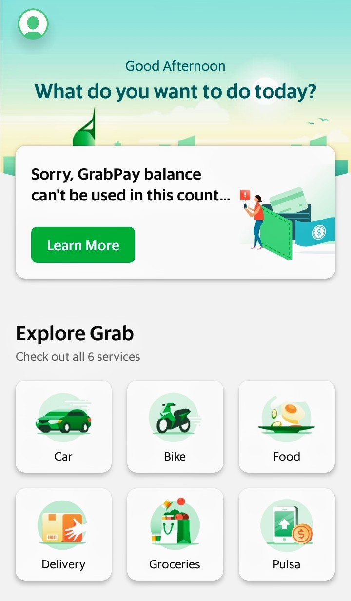
Various ride sharing apps – Free – Many countries have some service that you can use to order a taxi/transport. Some of these services even allow you to order food from local eateries. I’ve found it to be not only cheaper, but also much more convenient. It definitely beats extended negotiations with drivers, unless you’re in the mood for that. I’ve found that even if I don’t use a ride service, it’s still helpful to get an idea of how much things should cost. It can also be cost effective to shop around between the services themselves. Of course, you will need some sort of data connection to book the ride. Some of the services available include: Uber (South Africa/India), Taxify (South Africa), Ola (India), Grab (Malaysia/Vietnam/Philippines/Singapore/Indonesia), Passapp (Cambodia), and GoJek (Indonesia).
Maps.Me – Free – For those choosing to eschew Google products, or for those who just want a really well made offline map app, this is it. The app allows you to download detailed maps for where you’re going. The user interface isn’t as attractive as Google Maps (to me), but it works extremely well. I’ve found that the app doesn’t always have everything (businesses, eateries, etc) on the map, but it usually has everything I need. Users can submit updates as well.

Kiwix – Free – If you know anything about me, you know that I’m a huge fan of Kiwix, the offline Wikipedia browser. There’s an Android app, so I keep WikiVoyage downloaded in the app so that I can research where I’m going/where I am when I don’t have internet. This is extremely useful when looking up where I might want to go next. There are a few phrasebooks as well to help you with local language when you’re on the ground.
Couchsurfing – Free – People all over the world offer up their couches, beds, or free space to travelers in the name of friendship and cultural exchange. Even if I don’t end up using Couchsurfing to stay with someone, I always try to check the app when I get to a new city. Almost always, there are people looking to hang out and explore the city. Couchsurfers also organize events to explore or showcase the city, or various aspects of it. You do need take some time to create a complete profile on Couchsurfing, but it’s extremely worth it.
I should note that I carry an Android device. While it’s likely that these apps are available on iOS, I didn’t bother to look so I don’t know. If you have any favorite, must-have apps while traveling, feel free to shout them out in the comments.
Be kind to yourself.
Onward.
Yesterday, I had a long layover in what some consider to be the world’s greatest airport, Singapore’s Changi Airport (SIN). As I’ve previously written on this blog, I’m a huge fan of long layovers especially when the country offers visa free entry and decent food. Singapore ticks the necessary boxes. While I was looking at various things to do on a 16 hour layover, I found the usual recommendations for tourist sites and good eating around the city. However, another recommendation kept resurfacing: the airport itself. I never thought of an airport as an attraction.
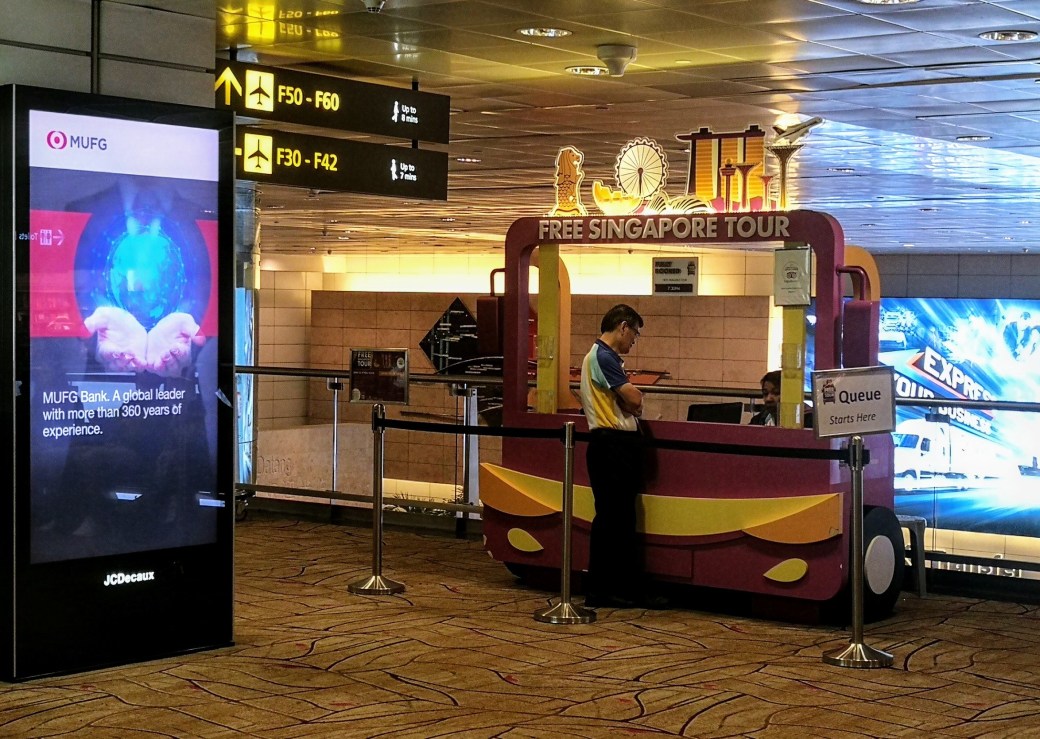
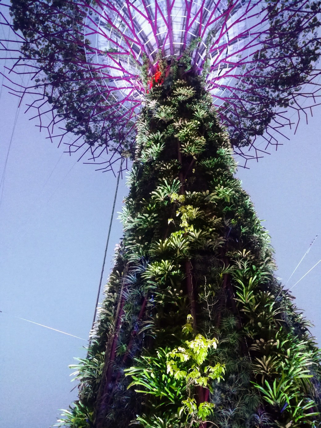
After landing, I was headed towards immigration to head into the city when I noticed a kiosk advertising free Singapore tours. I stopped by. During the day, there are free heritage tours to the city. In the late afternoon and evening, there are free city lights tours. My flight arrived just in time for one of the late afternoon city lights tours. The tour was led by a local tour guide named Daryl. About 20 folks from all over the world joined Daryl’s group and boarded an air-conditioned tour bus to the city. Daryl taught us about some of the history of Singapore while pointing out some of the famous sites. One of the stops was Gardens by the Bay. The massive garden features super trees, which are concrete and metal structures in the form of trees that are home to various plant life. At night, they are brilliantly lit. Not too far away is Satay by the Bay, a food centre with various types of tasty local cuisine. After 2.5 hour jaunt around the city, we were headed back to the airport.


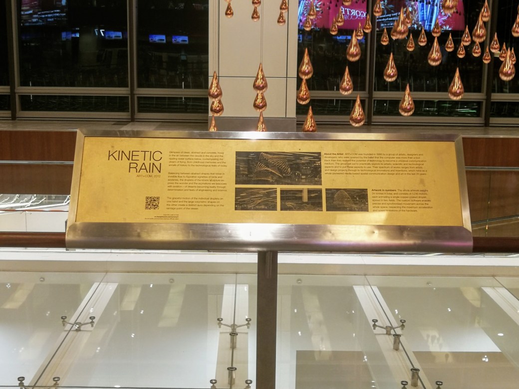
When we returned to the airport, some of us decided to check an art installation in the airport called Kinetic Rain. The installation features several copper-coated droplets moving artfully in sync.
The airport is home to different gardens including a cactus garden and a butterfly garden. For the tired feet, there is a plethora of foot massagers. There are several lounge spaces with comfy chairs to relax. In Terminal 2, there’s what they call the Entertainment Deck. Several video game stations are set up for the traveler’s leisure. The selection of games is pretty good, as well. Around the corner, there was a room with computer gaming and an arcade-style setup for various (mostly fighting) games. In Terminals 2 and 3, there are small movie theatres. Each has a daily rotation of 5-6 movies. There are also several computer terminals set up for internet browsing in addition to free WiFi.
All of the above mentioned stuff is free. There are paid options as well. For example, there’s a gym, a few spas, and several paid lounges. For those that need to rest in more traditional settings, there are hotels in the airport. One of the hotels has a swimming pool available to their guests, and outsiders (for a fee).
After my short stay in Changi, I can definitely see why it’s considered the world’s greatest airport. It seems to be an airport designed by someone who spent too much time in airports twiddling thumbs thinking, “there has to be a better way”. It absolutely challenged what I thought an airport was, and could be. Of the airports that I’ve been to, Changi just might be the best. It’s definitely the most engaging. It’s also the place that I’d most want a long layover, or a flight delay.
Be kind to yourself.
Onward.


I know. I know. You may have seen the title and thought, “I didn’t know that Kirby was going to the Netherlands”. I didn’t. I arrived in Philippines after a wonderful time in Vietnam. As I do when I get to most new cities, I checked out what was going on in the local Couchsurfing community. Manila was no exception. Some locals and travelers were getting together to walk around and explore Manila a day after I arrived. Perfect!
A group of about ten folks showed up in the park for the day’s activities. What I didn’t know was that the day’s activities would conclude in a Dutch Pancake Party at a local hostel. Robin, a self-described Dutch nomad, started throwing these parties some years ago. It all started with a conversation about food. Someone who was hosting Robin asked him to make some Dutch food. He admitted that he didn’t know how to cook, and made the only thing he knew: a Dutch pancake. Following the excitement of the first, he organized another, and then another. Now, Robin has hosted more than 100 of these events in more than 80 cities.
It was really cool to see all of the people coming together to share in pancakes. There was a very social atmosphere that extended beyond Couchsurfing. Good times were had as many pancakes were devoured. The above picture was taken before the event started as we were making pancake batter.
Be kind to yourself.
Onward.

A few years ago, I saw pictures of what I would learn is Halong Bay. One of the pictures was so magnificent that I decided to make it the background on my phone. I wanted to get there. To see this beauty in person. To be amazed and in awe. As my time in Vietnam was drawing to a close, I decided to prioritize going to Halong Bay over everything else. The Ha Giang Loop. Sapa. Ninh Binh. Hanoi.
While spending some time on the island of Cat Ba in Lan Ha Bay, I took a day boat trip through that bay to Halong Bay. It was just as beautiful in person as it was in the picture saved as my screensaver a while ago. Activities in the bay included swimming, snorkeling and kayaking. The tour guide also pointed out several of floating communities in the bays. The 1,969 limestone karsts protect the communities from typhoons, tsunamis, and the like. There are some communities that have a small tunnel entrance. One such entrance is only accessible during low tide. Many of the floating communities have fish farms. The above picture was taken just before kayaking around some of Halong Bay. If you look closely, you can see some of the passages we kayak through.
Be kind to yourself.
Onward.

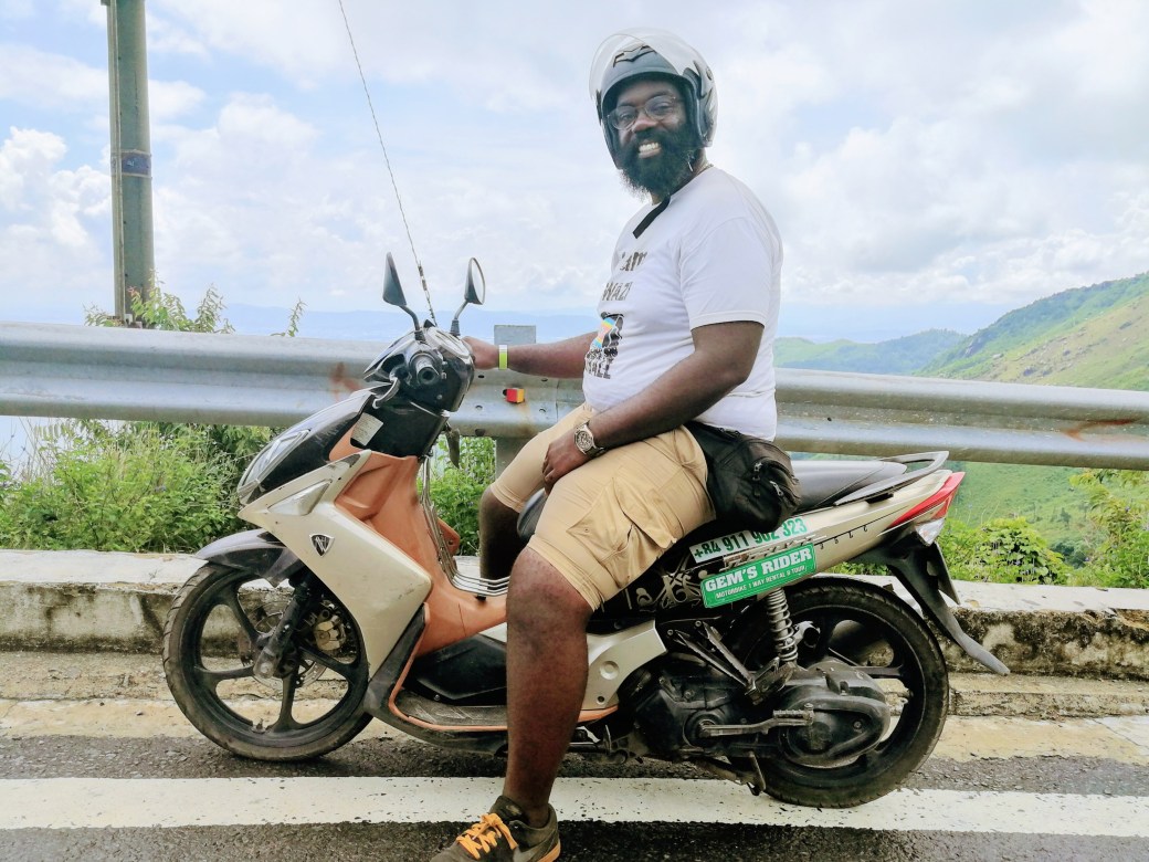
Moving around in Vietnam can be done many different ways. Private cars can be hired. Bus, plane and train tickets can be acquired for travel. Then, there are motorbikes. Scooters. Motorcycles. Mopeds. They are extremely popular around the country. I learned shortly before visiting Hoi An (in central Vietnam) that it was possible to take a motorbike tour from Hoi An to Hue, a city about 100 kilometers north also in central Vietnam. I had also heard that the route was absolutely beautiful.
For the motorbike bike tour, there were two options. Option one would put me on the back of a guide’s motorbike to relax and enjoy the ride with the views. Option two would give me a motorbike to ride on my own with the guide riding another motorbike. I promptly chose option two. Last week, the time had come for me to leave Hoi An and set off for Hue. A tour guide and two motorbikes arrived at my hostel during breakfast. We were on our way.
One of the biggest attraction of the route is the 21 kilometer long Hai Van Pass. The mountain which the pass runs through separated two kingdoms in what is now Vietnam. Other than a few flash rain showers, the sun shone through some clouds throughout the day. The entire route was a visual treat. I remember riding and questioning whether or not what I was seeing was actually real. I was wondering how I’d somehow transitioned into a postcard or painting. It’s just that amazing. The photo above is a view of DaNang Bay from the Hai Van Pass.
Be kind to yourself.
Onward.
P.S. – here’s a picture of me on my motorbike for the day. All smiles!